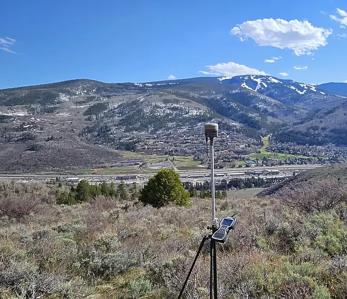
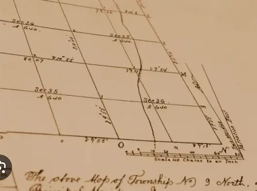
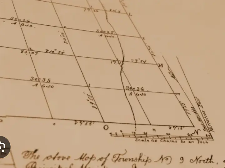
top of page
Survey View.jpg

ACCURATE SURVEY SOLUTIONS

IN COLORADO

​​

topo.jpg
SERVICES

OUR SERVICES


Construction Staking
Topos
Improvement Location Certificates
As-Builts
Property Line Adjustments
Improvement Survey Plats
ALTA Surveys 
Land Survey Plats
Refereeing Neighbors
Design Surveys
Flood Plain Mapping


Monument marker for land survey showing location on the PPLS.

TOP-NOTCH SURVEY SOLUTIONS

We, the unsung heroes, ensuring your yard is precisely where it should be, one measurement at a time. Without us, everyone would be lost—literally!

Precise measuring device used to gather angles and distance.
Old marking on a tree used in historic surveys.

PROPERTY MAPPING

PRECISE MARKING

You want to know where your property line is?  Ask your neighbor. 

Then call us.  

If you think it's expensive to hire a good Land Surveyor, try hiring a cheap one!

"It's just a simple survey." 
Ya.  Like a wedding. Just two people and a cake, right?

1. Property Size & Shape 

        Larger or oddly shaped lots require more time to measure and verify.

2. Terrain & Accessibility

        Steep slopes, heavy vegetation, fences, and lack of access can slow down the process.

3. Location

        Remote areas or dense urban neighborhoods with limited access may take more time and travel.

4. Existing Records & Monuments

        If previous surveys are inaccurate, missing, or outdated, we may need to reestablish boundaries.

5. Type of Improvements

        The more buildings, fences, or additions on a lot, the more time it takes to locate and map everything.

6. Time of Year

        Snow cover, frozen ground, or summer overgrowth can all complicate surveying.

7. Rush Requests

        Need it fast? We can prioritize your job—but it may come with an expedited service fee.

8. Title Commitment Issues

        Surveys tied to complex title issues or unclear legal descriptions may require extra research.

Skipping the survey to save a few bucks is like skipping deodorant to save time — someone’s gonna regret it.

Why a Land Survey Is Worth Every Penny (and Then Some)

Think of a land survey like a prenup for your property—it keeps things crystal clear, avoids messy fights later, and makes sure everyone stays on their side of the line (literally).

Sure, you could eyeball the property lines or trust that the neighbor’s fence is in the “right spot.” But unless you’re cool with surprise lawsuits, accidental trespassing, or building your dream deck on someone else’s land... maybe let the professionals handle it.

For the price of a weekend getaway, a licensed surveyor will show up with high-tech gear, legal know-how, and zero tolerance for boundary drama. We find hidden easements, resolve mystery lines, and keep deals from blowing up over three feet of dirt and a disgruntled neighbor named Ron.

In short: We measure twice so you don’t get sued once.

topo.jpg

FAQs

1. "Question for ya. In 1964 I took a survey class in college. If I help can I get a discount?"

2. "I got a coordinate from Google Earth, and laid out my property line with my hand held GPS. What do you mean it's not right?"

3. "Why did they let me build my house on their property? Someone should have stopped me!"

4. "What is a Land Surveyor's Job?"

5, "What information do I need to provide?"

6. "When do I need a land survey?"

Construction stake showing an offset measurement.

7. "What does this number with the circle around it mean?"

9. "What's this thing I found in the ground?"

Theodolite used to measure distance and angles.
Monument used to mark location on a quarter-corner of a section.

8. Are you taking my picture?

Words of Wisdom:  "Let's save $4000, and risk a $60,000 lawsuit."

topo.jpg
OUR WORK

GALLERY

No survey? No problem —
until the buyer finds out their dream patio is on public land

topo.jpg
ABOUT US

ABOUT US

Precision Land Surveying: Measuring the world so you don’t have to! With 20+ years of experience under our belts (and probably a few coffee stains on our maps), we’ve mastered the art of pointing lasers at stuff. Using cutting-edge tech and a dash of wizardry, we deliver pinpoint-accurate surveys you can trust. Whether it’s land or landmarks, we’ve got you covered—no guessing required!

But here's the backstory:  Meet Tyson, the man born in the backwoods of Minnesota, where the Wi-Fi is weaker than a squirrel on a diet. Growing up in the land of pine trees and moose, high school was a walk in the park for him—more like a leisurely stroll through the woods while everyone else was still trying to figure out algebra. He had so much time on his hands that he could’ve built a log cabin, knitted a sweater, and started a podcast about the mating habits of Minnesota’s finest wildlife—all in a single afternoon!

But alas, Tyson’s mother had other plans. She took one look at her son lounging around like a bear after a buffet and decided enough was enough. "Tyson," she said, hands on her hips, "you’re going to technical school! You need to learn a profession! You can’t just sit around waiting for a moose to hand you a job!"

So off he went to technical school, where he learned a trade that would keep him busy and, more importantly, away from his mother’s nagging. Who knew that the kid who once spent an entire summer trying to invent a machine that would cut his own lawn could actually become a skilled professional? But there he was, surrounded by other students who had finally realized that there was more to life than just video games and fishing.

Now, Tyson has mastered his craft and is known as the go-to guy for all things technical—whether it’s fixing a broken machine or explaining to folks why their homebuilt erections went hilariously wrong. And while he might have traded his carefree days on the lake for a GPS and a set of plans, you can bet he still knows how to take a break and enjoy a good Viking game now and then!

  • Instagram
topo.jpg
Nordic Compass for the Viking surveyor.
CONTACT

VISIT US

info@plsvail.com
Tel: 218-849-3115

  • Instagram

SmartAnswers

1.  Get out your wallet.  That will cost an additional $50/hr. 

​

2.  Google Earth coordinates will probably give you a result to the nearest second of a degree whereas the instruments we use measure to the nearest 1000th of a foot. Hand-held GPS devices are also not precise enough for an accurate survey.

​

3.   Your wife probably tried to stop you.  It's the property owner's responsibility to have a survey completed prior to any construction project or additional structures are erected on your property.  

​

4.   A land surveyor's job is to use scientific measurements to identify and mark the location of natural and man-made features on the earth's surface. 

​

5.  You can provide any information that might help the surveyor locate property corners or other historic features.

​

6.  You might need a land survey when buying or selling a property, or if you think there might be a conflict of use on your property.  A current survey can also help ensure that your property lines haven't changed.

​

7.  The number with the circle represents an offset distance to the point in question.  In layman's terms, If we put the stake right where we need the hole,  it will be dug up and then we lose any reference to that point.  If there is a  '3' in the circle, it means 3' from here, start digging.

​

8.  Not this time IG influencers. The Theodolite is a scope used to find a target to measure an angle and a distance.   

​

9.  That thing in the ground is a cap covering a stick of rebar or iron pipe below.  It's called a monument and was set by the General Land Office of the United States.  This cap marks the east quarter-corner between sections 10 and 11 in the PLSS -  (Public Land Survey System). 

​

​

© 2024 Precision Land Surveying. All rights reserved.

bottom of page